 Catàleg local de Mallorca
Ajuntament d' Algaida
Type of resources
Available actions
Municipios
INSPIRE themes
Keywords
Contact for the resource
Provided by
Years
Formats
Representation types
Service types
Scale
-
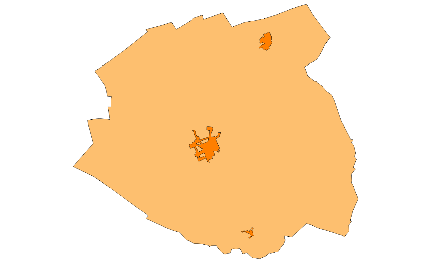
Web Map Service that allows access to the cartography of the buildings of the municipality of Algaida. Cartography extracted from a layer produced by the municipality of Algaida. The service contains the general layer BU.Buildings contains the buildings of Algaida. The symbology associated with the layers is defined by the INSPIRE specifications. Access to this service is free as long as the Algaida City Council appears as the owner of the data and the Consell de Mallorca as the owner of the service. Scale 1: 5,000.
-
Data set containing buildings on rural and urban land in the municipality of Algaida. The cartography was extracted from a layer of inventoried elements that appears in the Algaida municipal regulations of 2005. The Buildings layer is a polygon layer and contains the buildings on rural land that follow the INSPIRE data model. Scale 1: 5,000. The reference system: ETRS89. Projection system: UTM zone 31. Storage format: PostgreSQL.